Report of the Western Ghats Ecology Expert Panel Part II.. : 3.

Opinion
09/09/2018
1389
Report of the Panel – Part II
3.
This report is divided in two Parts, Part I and Part II. Part I is the main report of the WGEEP which deals with all the terms of reference, while Part II contains a discussion on the current status of ecology of the Western Ghats and specific detailed write-ups about various sectors on which the recommendations of the Panel made in the main report are based. Part II concludes with our proposals for a system of multi-centered governance to marry conservation to environmentally and socially sustainable development in the Western Ghats region.

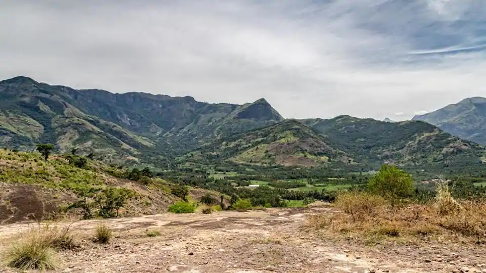
1. Status of Ecology of the Western Ghats :-
The Western Ghats are an intricate product of long processes of geological evolution, of evolution of life on earth, and of evolution of human civilizations. The drama started when the great southern continent of Gondwanaland began to split 255 million years ago, with the India-Madagascar fragment drifting northwards. Gondwanaland was then covered by ferns and gymnosperms, and populated by frogs and reptiles, but the flowering plants, and with them bees, butterflies, birds and mammals had yet to reach high levels of diversity anywhere on the earth. When Madagascar parted company from India some 90 million years ago the resultant stresses raised the Western Ghats parallel to the west coast. Around 65 million years ago, the Indian fragment passed over a weak spot of the earth’s crust on its northward journey, producing a tremendous volcanic eruption that created the Deccan traps. This kicked up an enormous amount of dust cooling the earth and leading to the demise of dinosaurs and the accompanying rise of birds and mammals. These birds and mammals, and the flowering plants could reach India from the Asian mainland only after the Indian fragment collided with it some 55 million years ago, leading to the uprising of the Himalayas, and the onset of the monsoons. The Western Ghats lie at a good distance from the point of contact with the Asian mainland, and although their blocking of the monsoon winds has produced a wet climate similar to that in Southeast Asia, their biota remained rather isolated and impoverished compared to that in the Eastern Himalayas. But the biota of the Western Ghats, although not as diverse as that of Eastern Himalayas, has a much greater proportion of species confined to India and Sri Lanka. So in these days of sovereign rights of countries over genetic resources for which they are the countries of origin, the Western Ghats are a treasure trove of biological diversity of very special value to India.

Humans, of course, evolved much, much later on the African subcontinent, and our own species colonized India around 60 thousand years ago. Initially, human populations prospered only in the drier parts of the sub-continent, around river valleys such as that of the Indus. This is where agriculture took root in India some ten thousand years ago, profoundly modifying the landscapes. But the wet forests of Western Ghats were colonized much later, only about three thousand years ago, when iron tools became handy. This is what probably lies behind the legend of Parashuram, equipped with the parashu or iron axe creating the civilization of the west coast and the Western Ghats. Fire and iron then moulded the vegetation of the Western Ghats as human settlements grew.
Geological and Biological Landscapes

Drawing on Pascal (1988), Daniels (2010), in a paper commissioned for the WGEEP, classifies the entire Western Ghats into nine geological landscapes across three regions – Surat-Goa, Goa-Nilgiris, and South of Palghat Gap.

These nine landscapes are: -
1. Surat-Goa Deccan Trap Landscape (extending between Surat and Belgaum) – L1
2. Goa-Nilgiris Pre-Cambrian Dharwar System Landscape (extending between Panaji and Kudremukh) – L2
3. Goa-Nilgiris Pre-Cambrian Peninsular Gneiss Landscape (extending between Shimoga-Kodachadri and Mysore) – L3
4. Goa-Nilgiris Pre-Cambrian Charnockites Landscape (extending between Kasargod and Nilgiris) – L4
5. Goa-Nilgiris Recent Sedimentary Rocks Landscape (extending between Malabar and Trichur) – L5
6. South of Palghat Gap Pre-Cambrian Charnockites Landscape (extending from Anamalai and Palani Hills till Shencottah Pass) – L6
7. South of Palghat Gap Pre-Cambrian Peninsular Gneiss Landscape (extending from Madurai to Kanyakumari; west of 78oE) – L7
8. South of Palghat Gap Pre-Cambrian Khondalites Landscape (extending westwards and south of Shencottah Pass till about Trivandrum) – L8
9. South of Palghat Gap Recent Sedimentary Rocks Landscape (extending from Cochin through Travancore) – L9

The Surat-Goa region which covers around a third of the entire Western Ghats is also relatively the most homogeneous in terms of geology and can be treated as a large geological landscape (L1; see Map), while the Goa-Nilgiris has 4 distinct geological landscapes within it. The smallest region is the South of Palghat Gap with 4 distinct geological landscapes within it. Relative to its size, the South of Palghat region that consists of landscapes L6–9 is the most spatially heterogeneous. This region also has the highest peak (the Anaimudi) in the Western Ghats. It is further characterized by its wetness (example Valparai) and shortest dry season (2–3 months in Travancore; Pascal 1988). At the other extreme, it also accommodates the driest hills in the Western Ghats, viz., the east Palani Hills (Kodaikanal).
To be continued ..
JAIHIND
VANDEMATHARAM


Comments
Post a Comment